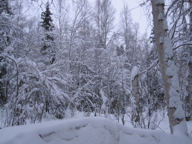
I believe January 2012 was documented as one of the coldest Januarys since weather records started about 100 years ago. I think the unofficial average temperature for this past month was -26 F (-32.2 C). A temperature of -50 F (45.5 C) was measured early morning on 29 January in Fairbanks. Fortunately, it wasn't quite so cold at our house in Ester, where it tends to stay warmer in the hills. The coldest we recorded, that day, was -43 F (-41.6 C).
Also unusual was the snowfall we have received during the extreme cold. It is rare for it to snow when it is colder than -10 F (-23 C) but we received several snowfalls of 4-8 cm each when it was very, very cold. The snow is very fine and granular at these temperatures and also, of course, extremely dry with curious physical properties. If you disturb the snow (such as by shoveling) and then come back a day later it will have compacted into a rock-like substance and is very hard to move.
However, it has started to warm up. When I took these photos yesterday, a cloud cover had moved in (which explains why the photos are so dark) and it had warmed almost 20 degrees F since 6 hours previous to -5 F (-20.5 C). I took several measurements of the undisturbed snow pack nearby and the average depth was 470 mm. I looked back at my notes from last year: at this time the snow pack was 355 mm, so we do have more snow this year than last.
Yesterday, 1 Feb, the sun rose at 9:41 am and set at 4:30 pm, for a total day length of 6 hours 48 minutes. Wow, what a difference from a month ago - that is about a 3 hour gain in daylight! I have also noticed a significant change in the angle of the incoming sunlight and you can see sunlight streaming into certain windows for the first time in several months.