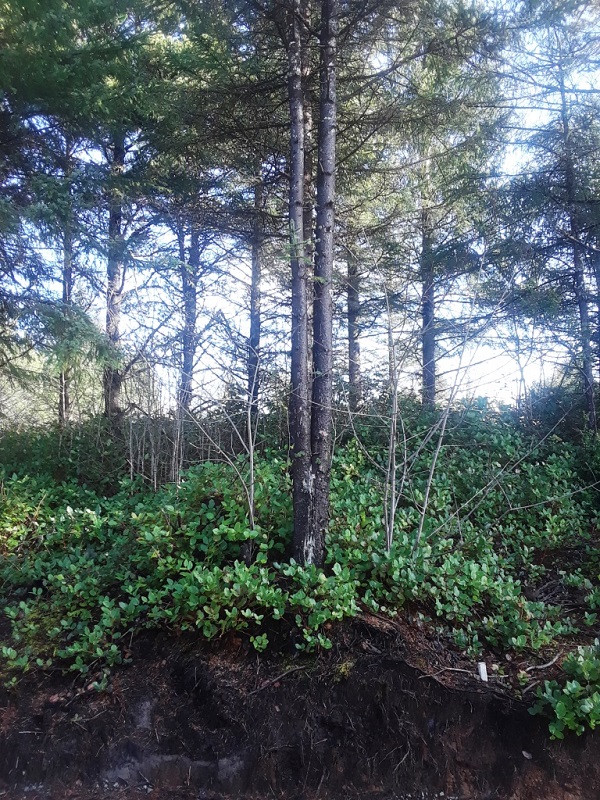
I am attaching an image I took yesterday, 3 February of my SIMB plot. The photo was taken at 12:30 pm. The temperature was 47 F (8 C) and the sky was partly cloudy. There was 0.27 in (7.0 mm) of rain in the rain gauge.
January was very, very wet. It seems we are finally making up for a dry summer and autumn. The total accumulated precipitation for the month was 16.8 in (427.1 mm)! This quite a bit over the normal for January in Newport of 10.24 in (260.09 mm).
https://www.usclimatedata.com/climate/newport/oregon/united-states/usor0245
It was very interesting as the first big storms moved in in late December. There were flood warnings out for small streams but not for the bigger rivers. This was because water levels in the rivers were so low that it would take quite a bit of rain to swell them to flood level. Now we, on the coast, are back to "normal" conditions.
https://www.drought.gov/drought/states/oregon
Although you can see from the map that the rest of the state of Oregon is still considered in abnormally dry to moderate drought conditions. This includes the Cascade Mountains, a critical area that brings water for the rest of the year to much of the state. Every year it seems there is concern whether the Cascades will receive enough snow, something that used to not be a problem. I compare this with the abnormally dry and warm conditions you mention occurring in the Alps in your country.
As the winter advances, I am already seeing signs of plants coming out of dormancy. A number the the bulbs I have planted are starting to send shoots above the ground: Dafodills (Narcissus), Snow drops (Galanthus), Summer Snowflake (Leucojum) and even some Iris has new leaves just starting to emerge. Spring is not far off!
The sun rose on 3 February at 7:34 am and set at 5:26 pm for a total day length of 9 hours 52 minutes. This is just about an hour more of daylight than this time last month.
Our tides for 3 February:
6:39 am High 8.00 ft (2.43 m)
1:52 pm Low 1.82 ft (0.55 m)
8:25 pm High 5.70 ft (1.73 m)